Sarawak Space Program — Ushering in the Era of Autonomous Satellites
Make sure you read until the end!
Sarawak is preparing to have its very own satellite, aiming to revolutionize weather monitoring and disaster management.
On January 31, Sarawak Chief Minister Datuk Patinggi Abang Johari announced that the state is actively planning a program to operate its own satellite, with the goal of addressing the limitations of traditional weather forecasts, which are often too general and lack accuracy.
⸻
Key Highlights
Autonomous Construction & Operation
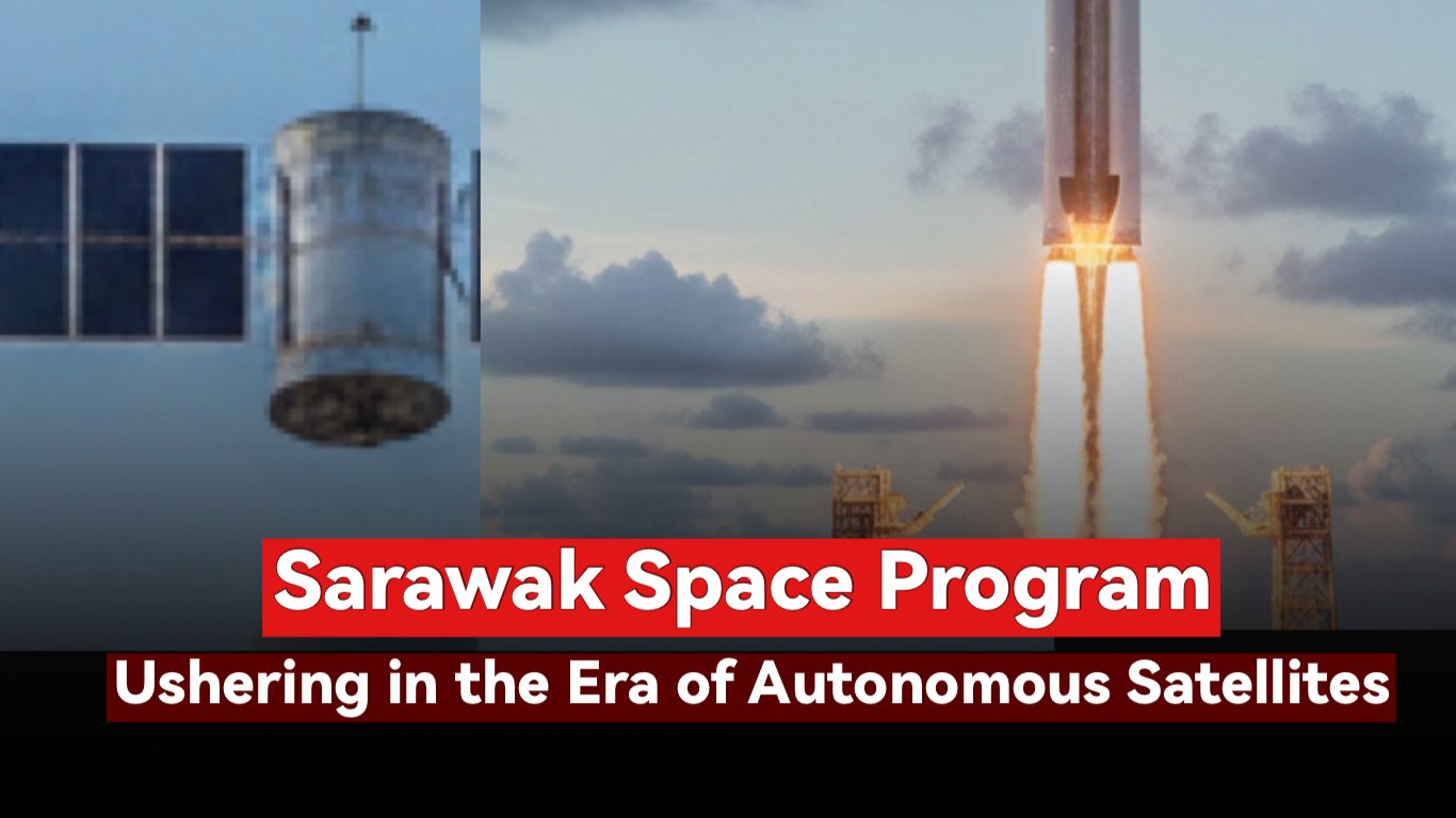
• Sarawak will build and operate its CubeSat satellites independently, using satellite imagery to monitor the Earth’s surface.
CubeSat Technology
• Moving away from traditional large satellites, Sarawak will adopt low-Earth orbit nanosatellites that are more flexible and efficient.
High-Precision Data for Economic Planning
• Satellite data will cover mountains, oceans, and land, providing essential information for geological research and regional planning in Sarawak.
Aerospace Talent Development
• The i-CATS School of Aerospace directly connects students with cutting-edge satellite technology, allowing local students to gain hands-on skills.
⸻
Project Overview
• Initiating Body: Sarawak Government
• Objective: Establish an autonomous satellite system for precise weather monitoring
• Technology: Low-Earth orbit CubeSat satellites
• Talent Development: Aerospace school + practical satellite projects
• Strategic Significance: Enhance disaster preparedness, drive technological innovation, and support economic development
⸻
Core Advantages
Precise Weather Monitoring
• Traditional forecasts are often too general and cannot pinpoint specific locations
• Satellite imagery provides real-time monitoring of weather patterns
• Local disaster preparedness becomes more informed and effective
High-End Talent Development
• Cultivate local aerospace and tech experts
• Build Sarawak’s autonomous technological capabilities
• Lay the foundation for future high-tech industries
Economic & Research Impact
• Satellite data provides scientific guidance for planning, research, and development
• Stimulates growth of the space technology industry
• Strengthens Sarawak’s competitiveness in Southeast Asia’s tech sector
⸻
📍 The Sarawak Space Program — More Than Just Launching a Satellite
It is a technology innovation initiative, a talent development platform, and a core strategy for advancing smart disaster management, precise governance, and economic growth in Sarawak.
In the future, when the CubeSat satellites are in orbit, Sarawak’s sky will no longer belong only to the clouds—it will symbolize autonomous technology and intelligence.
Launching its own satellite? Of course not—it will be launched by a professional partner.
What changes do you think Sarawak having its own satellite could bring to weather forecasting and regional development?